fast tools to catch reality
LAStools LiDAR Processing
Our software combines robust algorithms with efficient I/O and clever memory management to achieve high throughput for data sets containing billions of points.
Our Software
LAStools
Our flagship product, the LAStools software suite, is an easy download (~80 MB): A collection of 50+ highly efficient, batch-scriptable, multicore command-line tools for processing point clouds. There is an open source & a licensed part of LAStools.
BLAST
BLAST is the fastest and most memory-efficient solution to process billions of points into DTMs, DEMs, DSMs, CHMs, or elevation contours. It utilizes unique “streaming TIN” technology to seamlessly triangulate billions of points for subsequent rasterization.
LASzip
Our award-winning open-source lidar compressor LASzip has become the de facto industrial standard for compressed lidar. LASzip is completely lossless: A LAS file can be compressed into LAZ, then uncompressed into a bitwise identical LAS file.
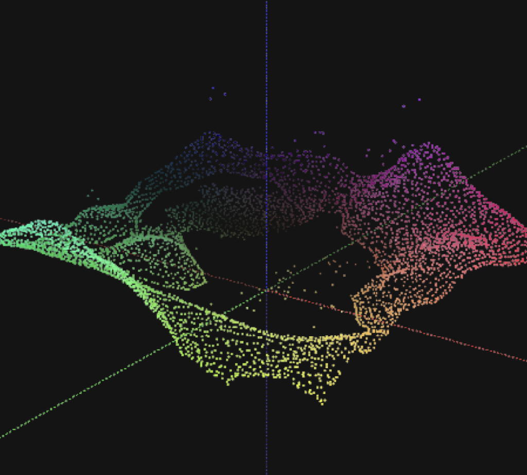
laslook
Our point cloud visualizer and GUI for LAStools is free to use. It includes full reference documentation and an integrated execution console, making LAStools easy to use. Results can be viewed and analyzed in a powerful integrated 3D viewer.