Gabriele Garnero (recipient of three LASmoons)
Interuniversity Department of Regional and Urban Studies and Planning
Politecnico e Università degli Studi, Torino
ITALY
Background:
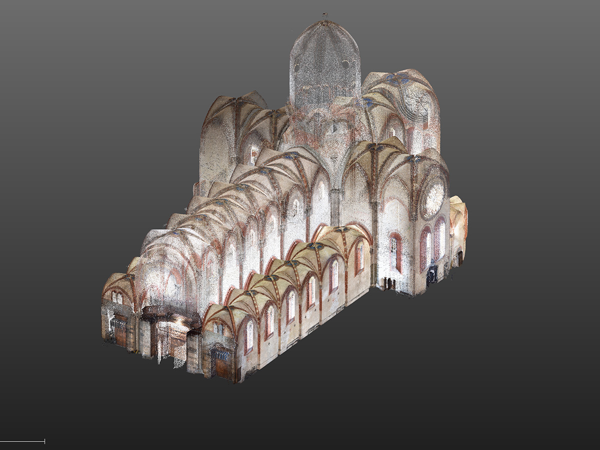
Last spring, the LARTU research group produced a laser scanner survey of the Abbey of Sant’Andrea in Vercelli, on the occasion of the VIII centenary of the dedication (1219). The database produced with a topographic tool that integrates the potential of a total station with laser scanner and photogrammetric sensors (Trimble SX 10), has been used to produce representations that can be consulted in interactive mode, navigating within the point clouds and producing a consultation platform that can also be accessed by non-specialist users such as art historians or archaeologists.

Goal:
The LAStools software will be used to improve both the point cloud produced by eliminating the remaining noises, and check other ways of publishing the data, so as to make it usable from outside, to the community of researchers.
Data:
+ laser scanner and photogrammetric acquisitions of the interior of the building (150 millions of points)
+ laser scanner and photogrammetric acquisitions of the outside of the building (210 millions of points)
+ drone-based shooting of outdoor areas processed with Pix4D (23 millions of points)
LAStools processing:
1) tile large point cloud into tiles with buffer [lastile]
2) mark set of points whose z coordinate is a certain percentile of that of their neighbors [lasthin]
3) remove isolated low points from the set of marked points [lasnoise]
4) classify marked points into ground and non-ground [lasground]
5) creates a LiDAR portal for 3D visualization of LAS files [laspublish]
