Martin Romain (recipient of three LASmoons)
Marshall Islands Conservation Society
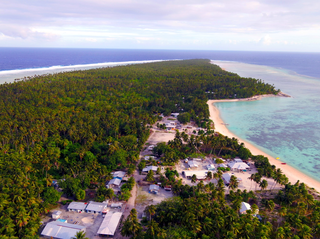
Majuro, Republic of the MARSHALL ISLANDS
Background:
As a low-lying coastal nation, the Republic of the Marshall Islands (RMI) is at the forefront of exposure to climate change impacts. RMI has a strong dependence on natural resources and biodiversity not only for food and income but also for culture and livelihood. However, these resources are threatened by rising sea levels and associated coastal hazards (king tides, storm surges, wave run-up, saltwater intrusion, erosion). This project aims at addressing the lack of technical capacity and available data to implement effective risk reduction and adaptation measures, with a particular focus on inundation mapping and local evacuation planning in population centers.
Goal:
This project intends to use LAStools to generate a DEM of the inhabited sections of 3 remote atolls (Aur, Ebon, Likiep) and 1 island (Mejit). The resulting DEM will be used to produce an inundation exposure model (and map) under variable sea level rise projections for each site. The ultimate goal is to integrate the results into each site’s disaster risk reduction strategy (long-term outcome) and present it through community consultations in schools, community centers, and council houses.
Data:
+ Aerial imagery of 11.5 square kilometers of land (6.3% of total national landmass) using DJI Matrice 200 V2 & DJI Zenmuse X5S with a minimum overlap of 75/75 and maximum altitude of 120m.
LAStools processing:
1) tile large point cloud into tiles with buffer [lastile]
2) remove noise points [lasthin, lasnoise]
3) classify points into ground and non-ground [lasground]
4) create Digital Terrain Models and Digital Surface Models [lasthin, las2dem]
Potential LAStools pipelines:
1) Removing Excessive Low Noise from Dense-Matching Point Clouds
2) Digital Pothole Removal: Clean Road Surface from Noisy Pix4D Point Cloud
3) Creating DTMs from dense-matched points of UAV imagery from SenseFly’s eBee