Moreblessings Shoko (recipient of three LASmoons)
School of Architecture, Planning and Geomatics
University of Cape Town, SOUTH AFRICA
Background:
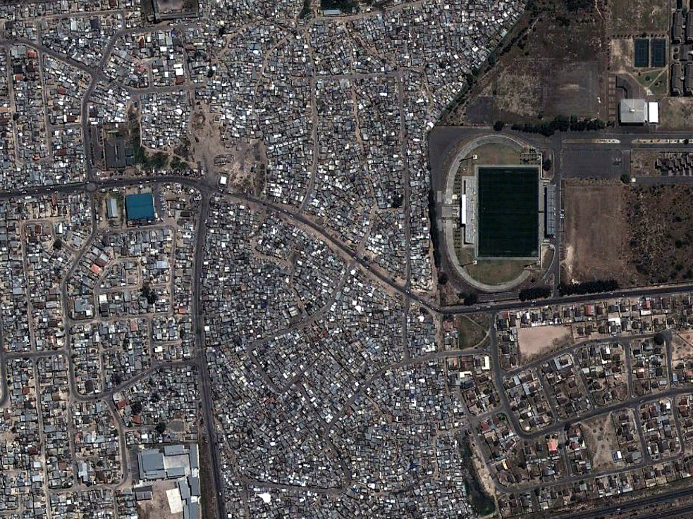
Over one billion of the world’s population live in slums, lacking access to water, tenure, electricity, sanitation and basic services. Informal settlements are a growing challenge for urban governance especially in developing countries. These settlements not only thwart plans for coherent urban expansion, but also create a population that is vulnerable to risks in health, environmental, socially, politically and economically matters. This project seeks to provide improved spatial documentation for urban managemen to understand the spatial dynamics that lead to slum growth.
 Goal:
Goal:
The aim of the research is to assess the efficiency of LiDAR in classification of an urban environment for the detection of informal settlements within South Africa. By creating more robust research tools that use three dimensional data such as LiDAR we create a platform for improving urban management especially regards the problem of slums which are a global concern. This work is part of an ongoing PhD research study in Cape Town, South Africa.
Data:
+ airborne LiDAR data covering entire extent of Cape Town, South Africa
+ Average point density: 4 points per square metre
LAStools processing:
1) check data consistency [lasvalidate, lasinfo, lasprecision, lasduplicate]
2) organize raw LiDAR data into sufficiently small tiles with buffer [lastile]
3) distinguish ground from non-ground points [lasground]
4) remove outliers (points higher than 50 meters above ground) [lasheight]
5) classify points into building and vegetation returns [lasclassify]
6) triangulate and rasterize points into elevation, intensity and slope raster DTMs and DSMs [las2dem]
Reference:
image source: Google Earth
