A Digital Surface Model (DSM) represents the elevation of the landscape including all vegetation and man-made objects. An easy way to generate a DSM raster from LiDAR is to use the highest elevation value from all points falling into each grid cell. However, this „binning“ approach only works when then the resolution of the LiDAR is higher than the resolution of the raster. Only then sufficiently many LiDAR points fall into each raster cell to prevent „empty pixels“ and „data pits“ from forming. For example, given LiDAR with an average pulse spacing of 0.5 meters one can easily generate a 2.5 meter DSM raster with simple „binning“. But to generate a 0.5 meter DSM raster we need to use an „interpolation“ method.
For the past twenty or so years, GIS textbooks and LiDAR tutorials have recommened to use only the first returns to construct the interpolating surface for DSM generation. The intuition is that the first return is the highest return for an airborne survey where the laser beams come (more or less) from above. Hence, an interpolating surface of all first returns is constructed – usually based on a 2D Delaunay triangulation – and the resulting Triangular Irregular Network (TIN) is rasterized onto a grid at a user-specified resolution to create the DSM raster. The same way a Canopy Height Model (CHM) is generated except that elevations are height-normalized either before or after the rasterization step. However, using a first-return interpolation for DSM/CHM generation has two critical drawbacks:
(1) Using only first returns means not all LiDAR information is used and some detail is missing. This is particularly the case for off-nadir scan angles in traditional airborne surveys. It becomes more pronounced with new scanning systems such as UAV or hand-held LiDAR where laser beams no longer come „from above“. Furthermore, in the event of clouds or high noise the first returns are often removed and the remaining returns are not renumbered. Hence, any laser shot whose first return reflects from a cloud or a bird does not contribute its highest landscape hit to the DSM or CHM.
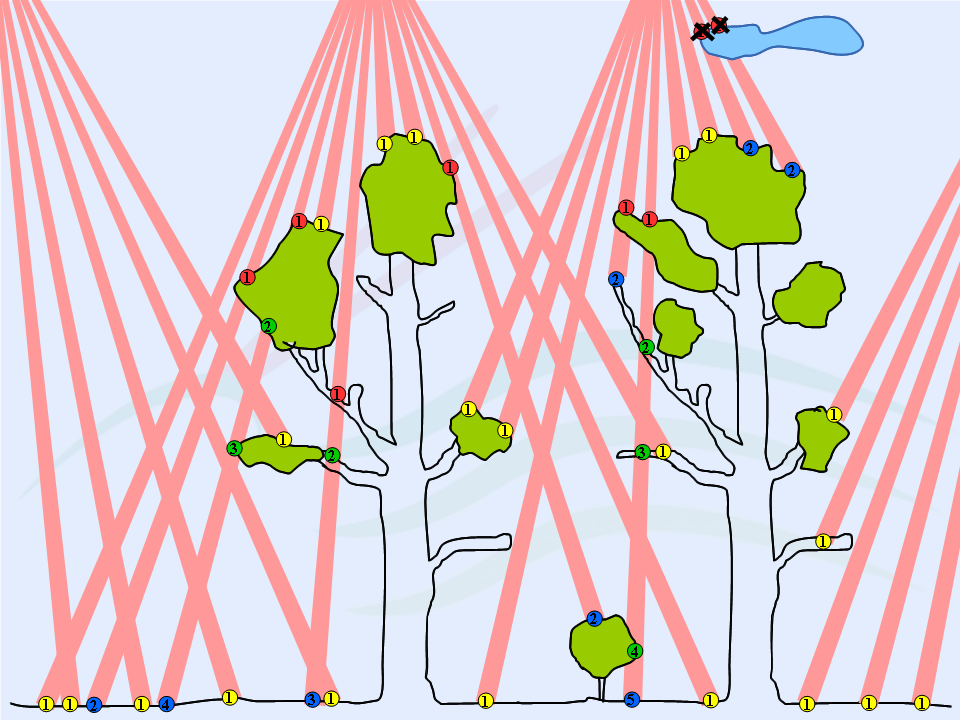
(2) Using all first returns practically guarantees the formation of needle-shaped triangles in vegetated areas and along building roofs that appear as spikes in the TIN. This is because at off-nadir scan angles first returns are often generated far below other first returns as shown in the illustration above. The resulting spikes turn into “data pits” in the corresponding raster that not only look ugly but impact the utility of the DSM or CHM in subsequent analysis, for example, in forestry applications when attempting to extract individual trees.


In the following we present results and command-line examples for the new „spike-free“ algorithm by (Khosravipour et. al, 2015, 2016) that is implemented (as a slow prototype) in the current LAStools release. This completely novel method for DSM generation triangulates all relevant LiDAR returns using Contrained Delaunay algorithm. This constructs a „spike-free“ TIN that is in turn rasterized into „pit-free“ DSM or CHM. This work is both a generalization and an improvement of our previous result of pit-free CHM generation.
We now compare our „spike-free“ DSM to a „first-return“ DSM on the two small urban data sets „france.laz“ and „zurich.laz“ distributed with LAStools. Using lasinfo with options ‚-last_only‘ and ‚-cd‘ we determine that the average pulse spacing is around 0.33 meter for „france.laz“ and 0.15 meter for „zurich.laz“. We decide to create a hillshaded 0.25 meter DSM for „france.laz“ and a 0.15 meter DSM for „zurich.laz“ with the command-lines shown below.
las2dem -i ..\data\france.laz ^
        -keep_first ^
        -step 0.25 ^
        -hillshade ^
        -o france_fr.png
las2dem -i ..\data\france.laz ^
        -spike_free 0.9 ^
        -step 0.25 ^
        -hillshade ^
        -o france_sf.png


las2dem -i ..\data\zurich.laz ^
           -keep_first ^
           -step 0.15 ^
           -hillshade ^
           -o zurich_fr.png
las2dem -i ..\data\zurich.laz ^
        -spike_free 0.5 ^
        -step 0.15 ^
        -hillshade ^
        -o zurich_sf.png


The differences between a first-return DSM and a spike-free DSM are most drastic along building roofs and in vegetated areas. To inspect in more detail the differences between a first-return and our spike-free TIN we use lasview that allows to iteratively visualize the construction process of a spike-free TIN.
lasview -i ..\data\france.laz -spike_free 0.9
Pressing <f> and <t> constructs the first-return TIN. Pressing <SHIFT> + <t> destroys the first-return TIN. Pressing <SHIFT> + <y> constructs the spike-free TIN. Pressing <y> once destroys the spike-free TIN. Pressing <y> many times iteratively constructs the spike-free TIN.


One crucial piece of information is still missing. What value should you use as the freeze constraint of the spike-free algorithm that we set to 0.9 for „france.laz“ and to 0.5 for „zurich.laz“ as the argument to the command-line option ‚-spike_free‘. The optimal value is related to the expected edge-length and we found the 99th percentile of a histogram of edge lengths of the last-return TIN to be useful. Or simpler … try a value that is about three times the average pulse spacing.


References:
Khosravipour, A., Skidmore, A.K., Isenburg, M. and Wang, T.J. (2015) Development of an algorithm to generate pit-free Digital Surface Models from LiDAR, Proceedings of SilviLaser 2015, pp. 247-249, September 2015.
Khosravipour, A., Skidmore, A.K., Isenburg, M (2016) Generating spike-free Digital Surface Models using raw LiDAR point clouds: a new approach for forestry applications, (journal manuscript under review).
Very Nice! Thank you for sharing.
Thanks for your sharing.
Can you help me explain about 0.9 or 0.5 in „spike-free“ on command-lines show above?
Pingback: Leaked: “Classified LiDAR” of Pentagon in LAS 1.4 Format | rapidlasso GmbH
Evening,
is there any way to use the spike_free algorithm to classify points within a laz file? I can see how this works well while gridding, but to set the classification flag would be really useful.
Pingback: Complete LiDAR Processing Pipeline: from raw Flightlines to final Products | rapidlasso GmbH
This is really great and very innovating! thank you! we have been looking for despiking solutions for a long time!