David Bandrowski (recipient of three LASmoons)
Yurok Tribe
Native American Indian Tribe in Northern California, USA
Background:
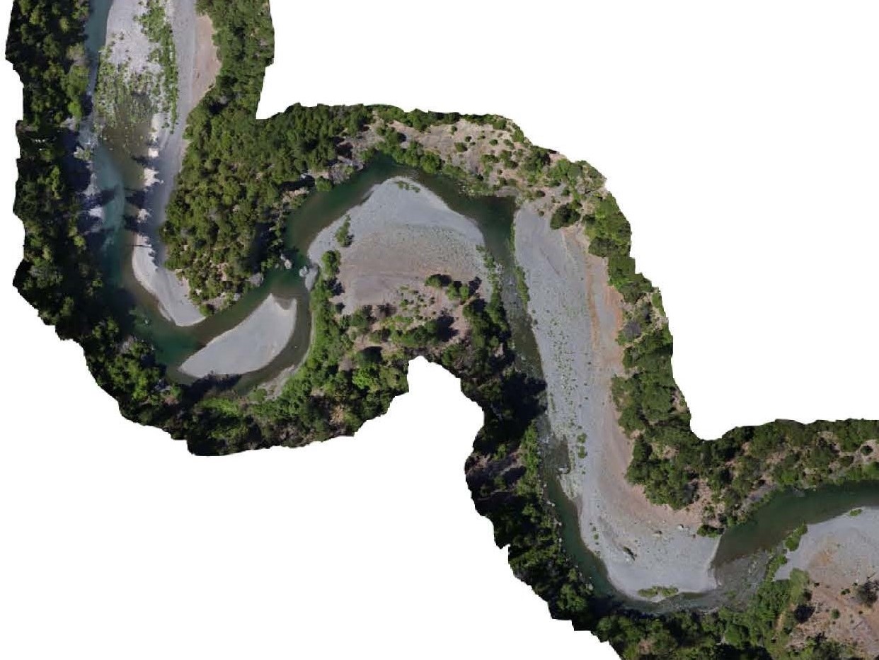
Wild spring-run Chinook salmon populations on the South Fork Trinity River in Northern California are near the brink of extinction. The South Fork Trinity River is the most remote and the largest un-dammed river in the State of California, federally designated as a wild and scenic river, and is a keystone watershed within the Klamath River basin supporting one of the last remaining populations of wild spring-run Chinook salmon. Ecosystem restoration is urgently needed to improve watershed health in the face of climate change, land use, and water diversions. This drastic decline of the wild salmon species motivated the Yurok Tribe and its partners to take action and implement this project as a last opportunity to save this species before extinction. Spring-run Chinook are extremely important for the Yurok people culturally, spiritually, and for a subsistence food source.

Goal:
Due to budgetary constraints, airborne LiDAR is not available; therefore the Yurok Tribe has been using aerial drones and Structure for Motion (SfM) photogrammetry to develop DTM models that can be used in determining available salmon habitat and to develop prioritized locations for restoration. The watershed has extremely heavy vegetation, and obtaining bare-earth surfaces for hydraulic modeling is difficult without the proper tools. The goal is to use LAStools to further restoration science and create efficient workflows for DTM development.
Data:
+ length of river mapped: 8 Kilometers
+ number of points: 150,856,819
+ horizontal datum: North American Datum 83 – California State Plane – Zone 1 (usft)
+ vertical datum: North American Vertical Datum 88
LAStools processing:
1) data quality checking [lasinfo, lasview, lasgrid]
2) classify ground and non-ground points [lasground and lasground_new]
3) remove low and high outliers [lasheight, lasnoise]
4) create DTM tiles at appropriate resolution [las2dem]
5) create a normalized point cloud [lasheight]

Hello, this sort of UAV methodology with heavy vegetation would help me a lot with my current thesis. I was wondering if it was possible to see this process more in detail somewhere